Batch 2022-24
Meet Our Rising Stars: Unveiling a Tapestry of Talents and Achievements Alongside their Ongoing Projects.

Brijesh Pandit
“I'm a tech enthusiast at core, diving deep into the world of data science and also keen on sustainable innovations.”
AI/ML techniques for interpolation and downscaling of ocean observations in coastal regions.
Altimeter ocean observations are notably scarce in coastal regions, necessitating the application of AI/ML techniques for data retrieval. Through the utilization of numerical models and tide gauge stations, machine learning regression techniques are actively employed for interpolation and downscaling. This pivotal undertaking plays a crucial role in identifying vulnerable zones within the context of climate change scenarios.

Nitin Sharma
“I am a skilled data scientist with a strong background in machine learning and data analysis. My experience includes leveraging advanced statistical techniques to extract meaningful insights from complex datasets. Eager to contribute my expertise to a dynamic team in a data science role.”
Analysis and Validation of Trends of Significant wave height using Altimeter Satellite Dataset.
The main objective of this project is to analyse wind patterns that can validate our SWH trends for Indian Ocean region (Ocean Basins). Performed extensive Exploratory Data Analysis (EDA) on wind data to glean insights, now spearheading the advancement of a Convolutional Neural Network (CNN) algorithm for generating downscaled climate projections with a focus on precision and scalability.

Parag Gawai
“M. Tech student with the 9.29 CGPA. Highly interested in Python, data science, data analytics, machine learning, deep learning. With this knowledge, was able to get the internship at ISRO, where I worked as a data science intern. Performed few projects in the domain. Have knowledge of Docker, AWS, Flask.”
Satellite and model current data validation with in-situ drifter data
To check how accurate satellite and mathematical model readings for the current are. Analysis is done for the Indian ocean, Arabian sea, Bay of Bengal, Equatorial Indian ocean for the year 2020. Analysis is based on R squared and RMSE.

S Sravan Naik
“I am passionately enthusiastic about contributing to efforts aimed at addressing climate change through nature-based solutions and carbon offset initiatives. I am eager to work towards sustainable practices.”
Development of new high resolution temperature dataset for Northeast Indian region
The aim of the project is to downscaling of temperature and precipitation gridded data set from High resolution to 0.1 degree resolution.
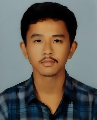
Amitesh Ray
“I completed my BSc in Mathematics in 2020 and, my MSc in Mathematics in 2022, I have an interest in CFD, Data analysis, Monsoon depression, and Data Science. I had an internship in the Indian Institute of Tropical Meteorology Pune, where I worked on Monsoon depression and validated the data using Python Nd NCl language.”
Forest Fire Modelling Using FDS and WFDS Fire Model
We have field fire data and we have to simulate using CFD software to valid the data and understand the fire spread in that particular area based on the different atmospheric parameters.
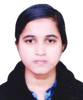
Pallabi Manna
“With a strong foundation in computer science and a proven track record of developing efficient and scalable software solutions, I am eager to contribute my technical expertise to your team. My passion for solving complex problems and my dedication to producing high-quality code make me a valuable candidate for this role.”
Prediction of Monthly Sea Level using different ML methods
Collected data from PSMSL website. Filled gaps and predicted using RF, KNN. RF gives more accuracy than KNN.

Sairam Vedireswarapu
“Upcoming Analyst at HSBC, Generative AI Intern at Ford Motor Company.”
AI assisted Carbon Footprint Calculator
Developing an AI based tool for carbon accounting that automates and enhances emission reporting and to reduce errors.

Snehal Singh
“Upcoming Analyst at General Mills. Interning at VA Labs as Product Manager. Experienced in UI UX and has a deep interest in Thermodynamics.”
Mimicking Dispersion of Lagrangian Drifters by Eddies
To track oil droplet's acceleration in water and using the data to predict further motion using ARIMA while optimizing p, d, and q values for accuracy enhancement of the model.

Amitesh Singh
“Proficient in conducting in-depth environmental impact assessments through advanced data analysis techniques. Skilled in uncovering correlations between human behavior and environmental changes, particularly focusing on air quality dynamics. Adept at deriving strategic insights crucial for informed decision-making in sustainability initiatives.”
Examining India's Post-Lockdown Impact on the Environment Using Google Mobility Data
This project investigates the environmental repercussions of India's post-lockdown phases, leveraging Google Mobility Data. Analyzing the relationship between human movement and environmental shifts, the study explores the impact on air quality, providing insights crucial for informed policymaking and sustainable development initiatives.

Hari S.
“I am a self-motivated and hardworking individual pursuing an M.Tech. project thesis at Technical University Dresden Germany, a prestigious university, through the DAAD scholarship facilitated between IIT and TU9 universities. I have got two and a half year work experience as Senior Engineer NPD-STA in Simpson & Co. Ltd. and Three months Internship experience as Machine Learning Intern in ZF CVCS”
Forecasting Climate Class and Generating Climate Boundary Maps of India
Forecasting Climate Class of India till 2040 with the help of statistical time series Winters Model (Triple Exponential Smoothing), Machine Learning (Multiple Linear Regression, Polynomial Regression, Regularized Regression, Decision Tree, SVR, Random Forest, Bagging and Boosting) and Deep Learning Models (ANN, RNN-LSTM and CNN) and Generating Climate Boundary Maps with QGIS/ArcGIS.

Akshay Ramesh Bhivagade
“Hello, I'm Akshay Ramesh Bhivagade, a highly motivated and detail-oriented professional with a robust background in Machine Learning, Data Science, QGIS, and ArcMap. I come with valuable experience, having served as a Data Science intern at MRC Pune for 2 months. I am enthusiastic about contributing my skills and passion for the field to a role in Machine Learning and Data Science, and I look forward to the opportunity to make a meaningful impact.”
Flood vulnerability mapping for Bihar state
The aim of this study to map highly flood vulnerable zone in the Bihar state in order to make informed decision making and effective flood risk management.

Mohd Athar Ansari
“Armed with a robust background in machine learning, data analysis, and a versatile skill set in Python programming, I've undertaken impactful projects ranging from landslide prediction and duplicate question detection to placement forecasting using ML techniques. I've also contributed insights to diverse domains through internships, such as machine learning-based nutrient estimation for rivers and crafting data-driven coursework for educational platforms.”
Landslide assessment using Analytic hierarchy process
Developed a landslide susceptibility map using the Analytic Hierarchy Process for Himachal Pradesh. The map shows regions highly prone to landslides and also highlights areas less susceptible to them.

Pankaj Kumar
“My name is Pankaj Kumar.I am pursuing study M. Tech in IIT Kharagpur.My B.Tech degree from GJU from Hissar.”
pCO2 measure in Northern Indian Ocean
pCO2 measure with northern Indian Ocean with the help of alkanity and pH range data.

Ritesh Kumar Gupta
“This is Ritesh Kumar Gupta,l have done b.tech in mechanical engineering and right now persuing M. Tech in IIT Kharagpur. I am very much interested to work in field of renewable energy ”
Renewal Energy
Increase the power output and efficiency of wind turbine.

Ujjwal Bera
“Hi, My name is Ujjwal Bera and I'm a dedicated professional with a passion for working around climate data and analysis of it using different Statistics and ML algorithms. With a solid background in Earth System Science and Technology, I thrive on tackling climate challenges and bringing innovative solutions to the table. I'm eager to leverage my skills and contribute effectively for the betterment of our society.”
Compound Extreme Event Analysis using Statistics and Probabilistic ML Model
First we did data collection from IMD website for Rainfall, Maximum Temperature and Minimum Temperature and Identifying simultaneous extreme event among 318 locations in India. Then We will trying to predict extremes using various probabilistic ML models.

Manojkumar M.
“I hold a Bachelor's degree in Civil Engineering and Presently doing masters in Earth System Science and Technology possess expertise in Remote sensing applications, specializing in water resources. Proficient in Python and software's like QGIS, ARCGIS, ENVI, and Excel, my technical skills, combined with a strong academic foundation, make me a valuable candidate ready to contribute to the team's success in tackling complex challenges.”
Assessing the Impact of Meteorological Drought on Hydrological and Agricultural Drought
This study focuses Using remote sensing to monitor meteorological, hydrological, and agricultural drought. Through indices like SWI, SPI, and NDVI, it reveals meteorological drought as the direct cause of hydrological and agricultural drought in the region.

Yatirajula Sai Kumar
“Aspiring Earth System Scientist and DAAD Scholar pursuing a Master's in Earth System Science and Technology with a strong Mechanical Engineering background. Academic excellence and practical experience through an NCESS internship specializing in atmospheric rivers. Particularly interested in solar radiation and remote sensing. Seeking a dynamic role that leverages my core knowledge, integrates it to data science applications, and contributes to advancements in solar radiation and remote sensing technologies.”
Solar Irradiance and Cloud Motion Vector Estimation from Satellite Images
Using EUMETSAT Rapid scan High rate SEVIRI image data and solar irradiance hourly data, masking, thresholding and calibration for data preprocessing for the extraction motion vector fields using opencvs optical flow method for a consecutive time period vis, ir, water vapor channels image data and forcasting upto 1 hour using neural networks.
© Centre for Ocean, River, Atmosphere and Land Sciences, IIT Kharagpur
Batch 2023-25
Showcasing Our Emerging Talent: Unveiling a Mosaic of Accomplishments and Ongoing Endeavors.

Thejshri A
“A green enthusiast, strongly believing in blending innovation with a results-driven mindset to navigate challenges and achieve impactful outcomes.”
Aerobiology: Correlating Distribution Pattern of Pollen with Satellite Derived EVI
Studied the variation of Pollen calendar in Chandigarh for 2018-2020 and extracted Pollen Concentration Data to depict peak pollen seasons. And mapped the Enhanced Vegetation Index (EVI) over Chandigarh region using Sentinel Data in Google Earth Engine with JavaScript as the coding language to correlate the distribution pattern of Pollen with EVI

Ayush Nayan
“A firm believer of the notion that patience, gratitude & hardwork will always get me results while I can enjoy the process. I am an Engineer who is constantly looking for solutions and learning new things on the way.”
Spatio - Temporal Variations of Sea Surface Temperature in the Bay of Bengal
82 years of High resolution SST Climatology data was plotted to understand how sea surface temperature of Bay of Bengal affected the weather and climate of the Indian Sub continent.

Boda Kalyan Singh
“Passionate about the forefront of AI and Data science Innovation and Startups. I embarked on a journey driven by ambition and perseverance”
Engaged in Internship projects pertaining to Machine Learning , Artificial Intelligence, and Deep Learning
Covid-19 Detection using Chest X-Ray: Developed a Convolution Neural Networ (CNN) model from scratch for detecting Covid-19 using chest X-Ray images, Achieved highest accuracy of 91.14% and 98.66% on training and testing set post increased the model generalization using data augmentation techniques. Notable projects include : Titanic Survival Prediction | Movie Rating Prediction with Python | IRIS Flower Classificaton | CREDIT Card Fraud Detection Engaged in rigorous data cleaning, preprocessing, and feature engineering to ensure the reliability and accuracy of models. contributing innovative ideas and solutions

Deevi Lakshmi Teja Sree
“I'm Optimistic, Ambitious, hard working and driven. I'm passionate about my work. I complete the tasks before the deadlines. I'm a perfectionist, I work hard to complete the tasks perfectly in time.”
Landslide susceptibility mapping of Northwestern Himalayan region.
Landslides are the most common natural disasters in Himalayan regions. using Google Earth Engine landslide susceptibility regions are mapped by collecting various datas that are needed to predict the landslide prone areas. Weighted overlay method is used in mapping the susceptible regions.

Shyamkalyan Kalapala
I am Shyamkalyan Kalapala student of IIT KHARAGPUR. I am an enthusiastic, self-motivated, reliable, responsible and hard working person.
Aerosol Optical Depth variation over Indo-gangetic plain
The main aim of my project is to know the AOD and Pm2.5 levels variation between early morning(4am-7am) and late morning (9am-11am) over Indo-gangetic plain region at Delhi and Kanpur for 5 years and observed seasonal variations.
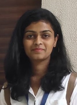
Yenugula Rashmitha
"I am a master's student at IIT Kharagpur. I am interested in studying the interdependency of climate change factors and sustainable urban sprawl."
Analysing sustainability of Kolkata Urban Sprawl through UHI
To study the sustainability of urban sprawl of the city of Kolkata through annual and seasonal variation of Urban Heat Island and concluding with the nature-based solutions for further sustainable expansion of cities.
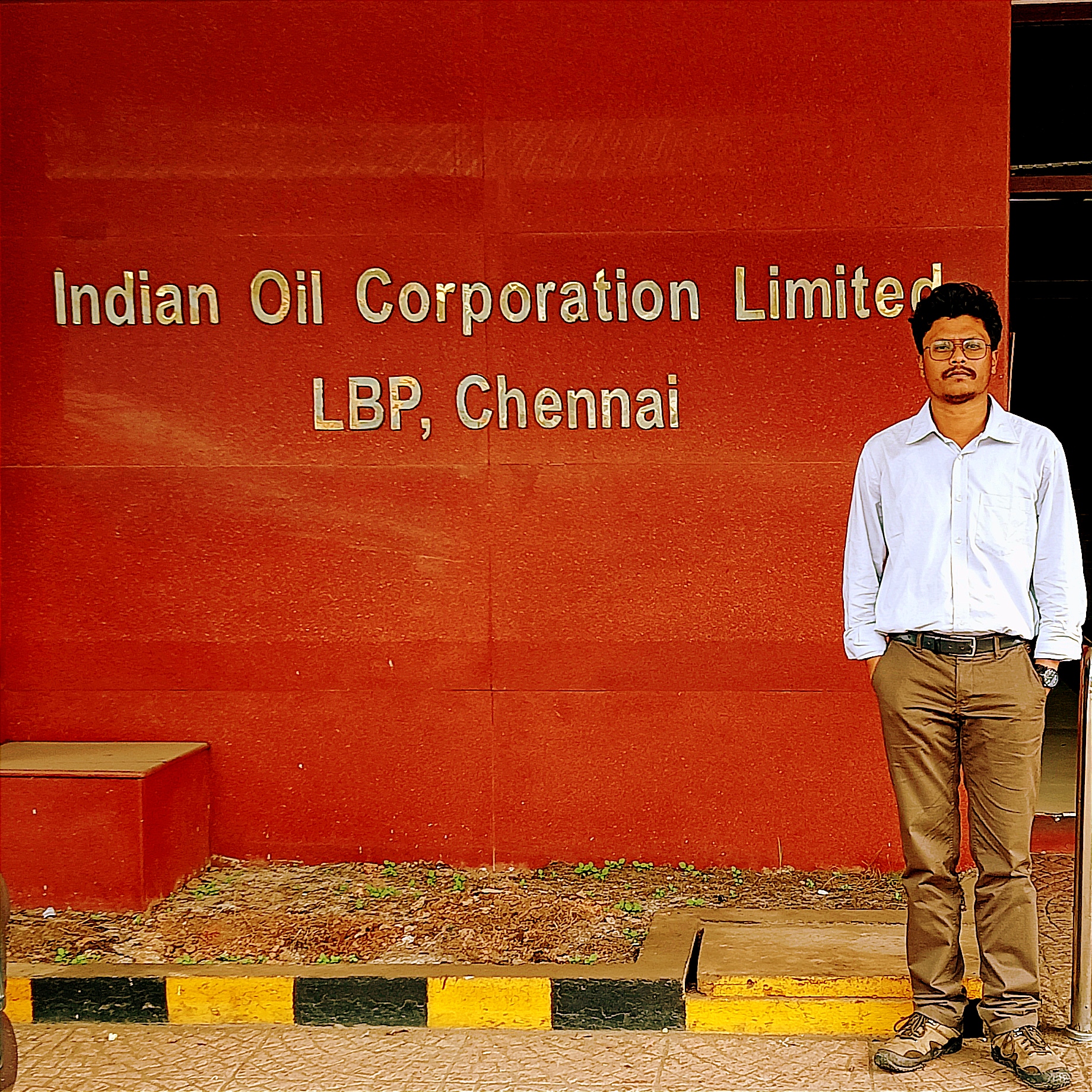
Debangshu Bose
“M.Tech student of IIT Kharagpur in Earth System Science and Technology. With a Master's degree in Mathematics, I leverage my strong background of Mathematics and statistics coupled with coding skills in Python to venture into the field of Data Science and Machine Learning.”
Lithospheric Mantle below Southern Norway.
To investigate the thermal structure and density of the lithospheric mantle below Southern Norway using two complementary methods: Geoid Isostasy Method and Inversion of Seismic-wave velocity to temperature.

Shreyash Lahane
“Student at IIT Kharagpur, keen to learn new things and looking for exigent opportunities.”
Spatio-Temporal variations of SST in the Arabian Sea
Analysed and plotted various figures and maps for 82 years of high resolution climatology Sea Surface Temperature data to understand extreme weather anomalies using MATLAB.
Moarenla Y Longkumer
“M.Tech Scholar at IIT Kharagpur”
Correlation of Satellite based EVI data with Ground based data with implications to Health Sector
Analyzed satellite based Enhanced Vegetation Index data and corelated it with ground based data of pollen distribution pattern, with implications to Health sector using of Google Earth Engine.
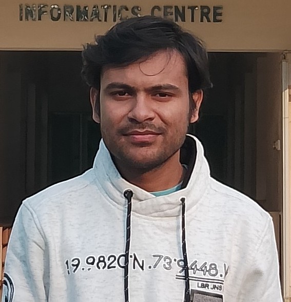
Aashish Joshi
“I'm a data analyst with a passion for uncovering insights from complex datasets. With a keen eye for detail and a knack for problem-solving, I thrive on transforming raw data into meaningful and actionable insights”
Kinetic energy generation in heat engines and heat pumps: the relationship between surface pressure, temperature and circulation cell size
The primary objective of this project is to investigate the drivers and dynamics of the Southern Annular Mode (SAM) and its impacts on regional climate variability.
© Centre for Ocean, River, Atmosphere and Land Sciences, IIT Kharagpur